Learn to Use ArcGIS Pro for Image-Processing/Remote Sensing
Twelve (12) YouTube videos are now available that provide image-processing instructions for ArcGIS Pro users, instructors, and students who want to do their own processing, enhancement, and information extraction of satellite and airborne (including drone) remote sensing data. Here’s the YouTube link to the Introduction Tutorial Video: https://youtu.be/bdV2YqkJnac
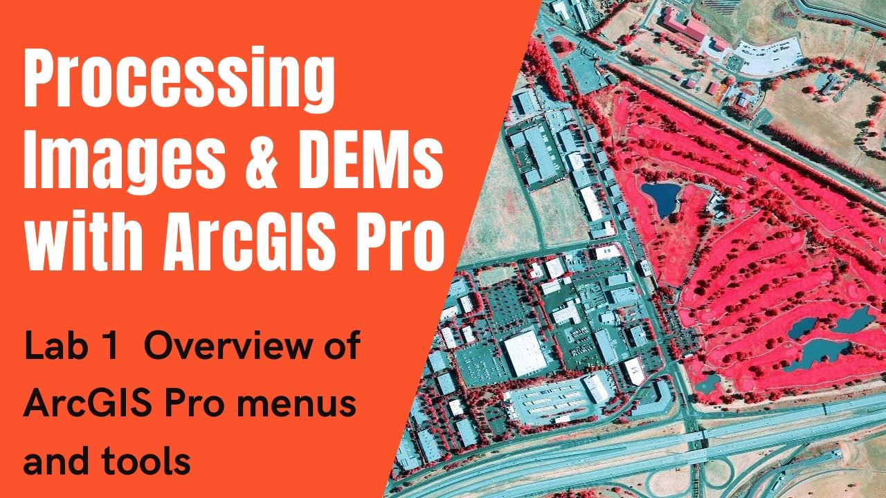
Subscribe to the YouTube channel to view the 12 lab exercise videos (also available at the YouTube Channel as a playlist).
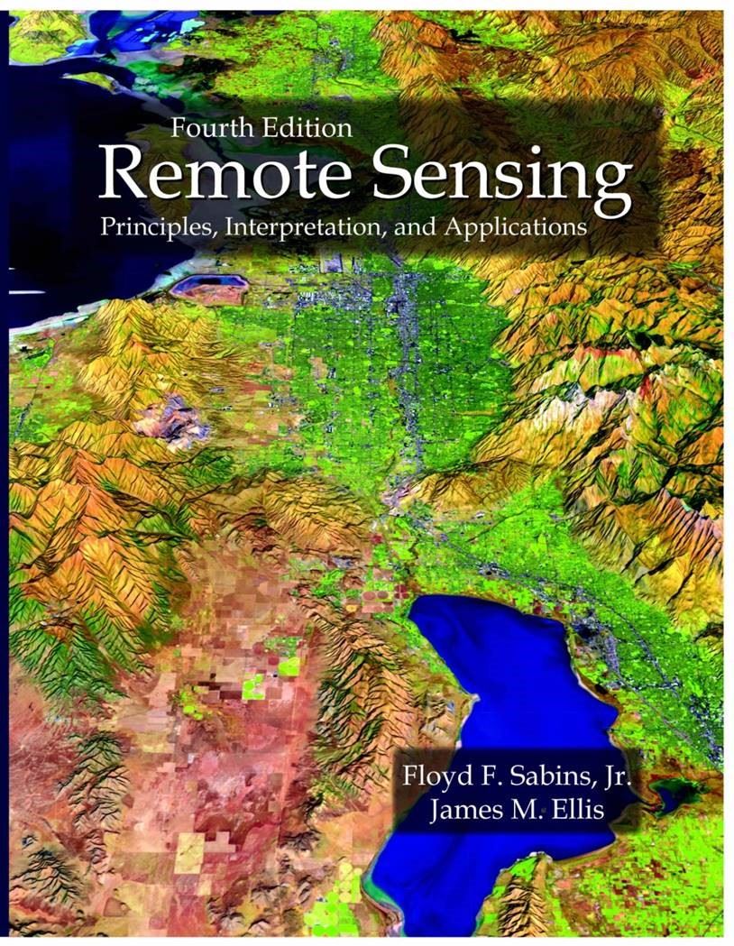
The YouTube tutorials use examples discussed and shown in Remote Sensing Principles, Interpretation, and Applications, 4th ed. by F.F. Sabins and J.M. Ellis (BAPG member, UB Geology alumni), published by Waveland Press in April 2020.
The ArcGIS Pro lab manual (step-by-step pdf instructions that provide the foundation for the 12 YouTube videos) with exercise data is available for download at no cost from the textbook publisher's website as a 322MB zip with a README pdf and Overview pdf: http://waveland.com/Sabins-Ellis/
Download this manual and data if you want to process imagery and DEMs with your copy of ArcGIS Pro while viewing the YouTube videos.
The goals of the 12 tutorial videos and lab manual are to 1) make image processing of remote sensing data easier for ArcGIS Pro users, instructors, and students and 2) increase interest in learning about remote sensing principles and applications.
Questions or Comments?
Contact: James Ellis jellis@ellis-geospatial.com